
See Every Detail. Understand Every Phase.
Survey-grade reality capture and actionable project intelligence—built for better decisions.
FAA-LICENSED PILOTS
PROFESSIONAL SURVEYORS AND ENGINEERS
SERVING CLIENTS ACROSS FLORIDA
30+ YEARS OF SURVEYING AND ENGINEERING EXPERTISE
OUR SOLUTIONS
One Site. Every Reality.
Five integrated reality-capture services—each delivering a distinct, professional-grade product for Florida’s development, construction, utility, infrastructure, and real estate sectors.
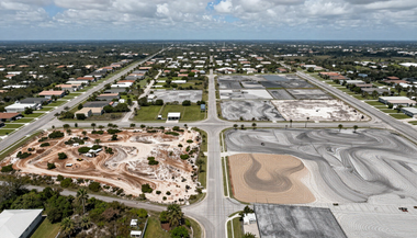
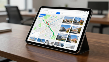
Reality Exhibit
Interactive visual exhibits that communicate complex project information clearly and effectively.

Reality Report
Data-rich documentation and customized reporting that support informed decisions and reduce risk.
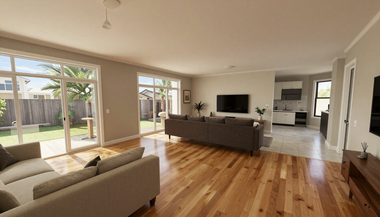
Reality Scans
Hyperrealistic, freely navigable digital twins created for immersive visualization and remote exploration.
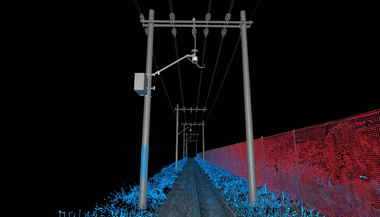
PROJECT LIFECYCLE
Visibility Through Every Stage
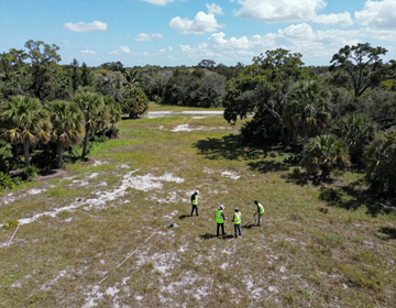
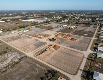
FDC Reality supports your project from undeveloped land to final handover — delivering accurate, timely data at every phase.
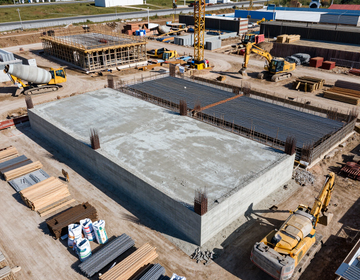
Active Construction
Track construction progress, document conditions, and support field decisions in real time.
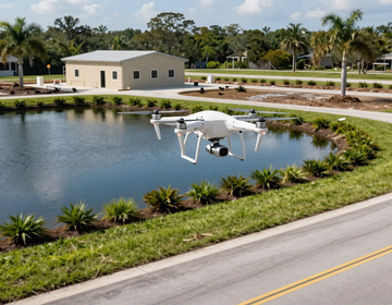
Inspection and Documentation
Document completed work, confirm compliance, and build a permanent as-built record.
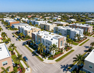
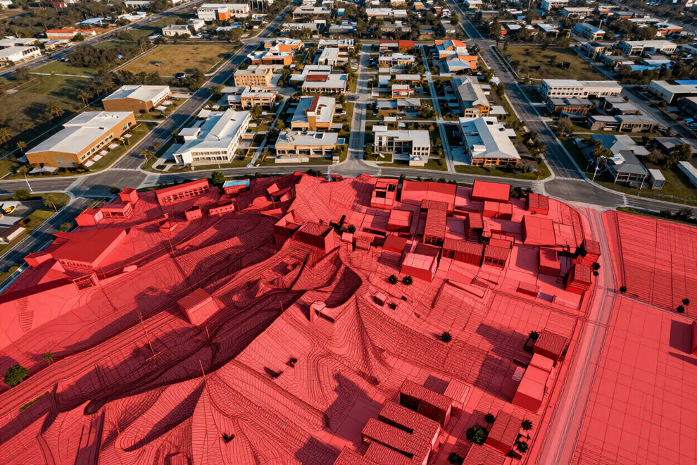
WHY FDC REALITY
Built on Professional Expertise. Powered by Better Technology.
FDC Reality combines the technical precision of licensed surveyors and engineers with advanced reality-capture technology — delivering project data you can trust, in formats your team can actually use.
- In-house surveying and engineering expertise
- Survey-grade horizontal and vertical site control
- Customized imagery, models, and reporting
- Fast model availability
- No monthly licensing or storage fees
- Professional review and project support
INDUSTRIES WE SERVE
Built for the Teams That Build Florida.
FDC Reality delivers tailored reality-capture solutions across Florida's most active development, infrastructure, and property sectors.
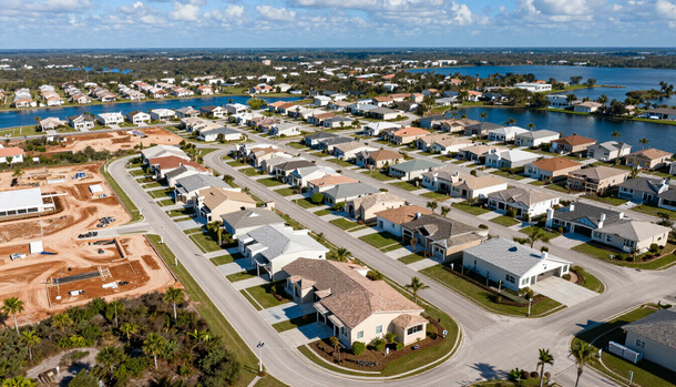
Developers and Home Builders
Monitor site progress, document phases, and support stakeholder communication from raw land to ribbon-cutting.
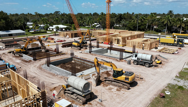
Contractors and Construction Teams
Access accurate site data, document field conditions, and streamline project coordination.
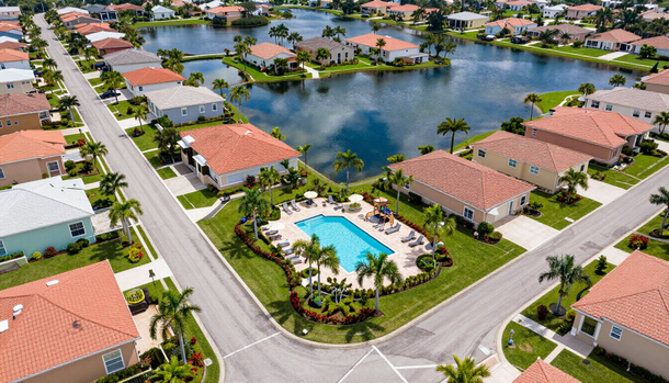
HOAs and CDDs
Preserve asset records, support maintenance planning, and communicate clearly with residents.
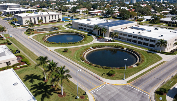
Municipalities and Government Agencies
Support planning reviews, document public assets, and improve institutional records.
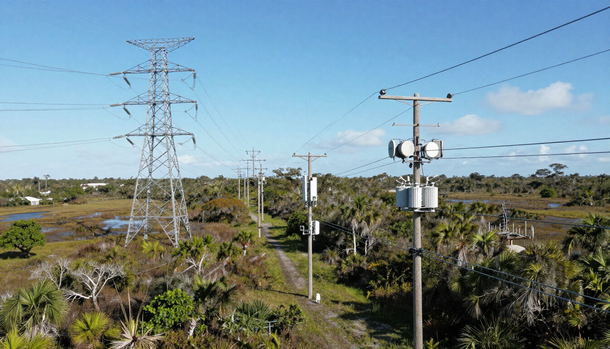
Utility and Telecommunications Providers
Capture existing infrastructure with precision and deliver data ready for modern design workflows.

FEATURED VIDEO
Technology That Takes Reality Further.
Take a closer look at how FDC Reality uses advanced reality-capture technology to document sites, visualize project conditions, and turn complex data into actionable project intelligence.
Explore how advanced reality capture is changing the way projects are documented, understood, and communicated.
FEATURED DELIVERABLE
See an FDC Reality Exhibit in Action.
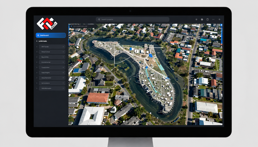
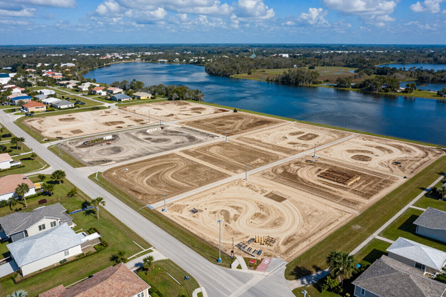
Interactive FDC Reality Exhibits transform complex project data into accessible, easily shared presentations — combining aerial imagery, plans, maps, videos, and project narratives in a single navigable interface.
Designed for public presentations, stakeholder updates, municipal hearings, and sales — every exhibit is fully customized to your project and shareable via secure link.
Turn Your Project Into an FDC Reality.
Let's discuss the capture, visualization, and project intelligence your team needs.